- State
- Maharashtra, west coast of India
- Nodes
- Vashi, Nerul, Belapur, Kharghar, Panvel
- Main airport
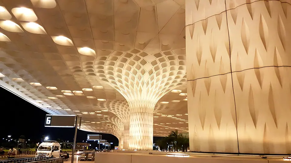
- Navi Mumbai International, near Panvel
- Sea link
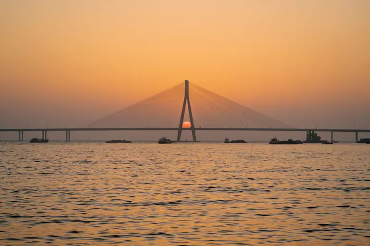
- Atal Setu, Sewri to Nhava Sheva
Character of the zone
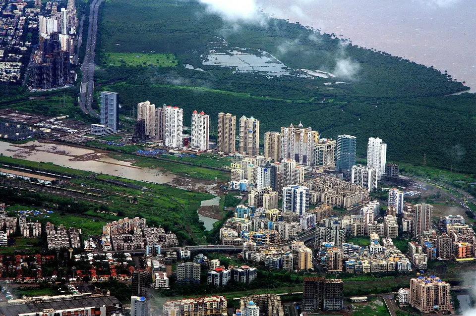
Navi Mumbai was planned from the 1970s as a counterweight to Mumbai's crowding, laid out in sectors on land across Thane Creek. The result is a city of wide roads, numbered sectors and purpose-built markets, with far more open space than the island city. For a visitor it reads as calm and legible: streets run straight, addresses are sector numbers, and the hills sit close behind the buildings. The city is still growing, particularly around the new airport.
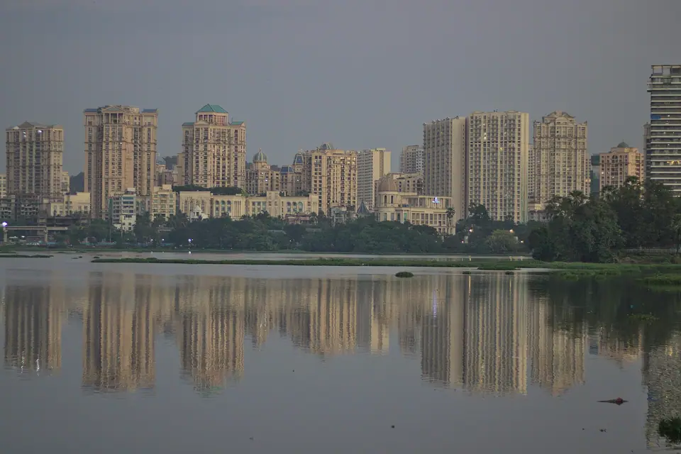
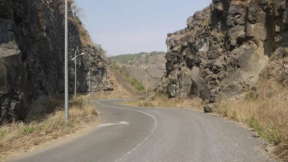
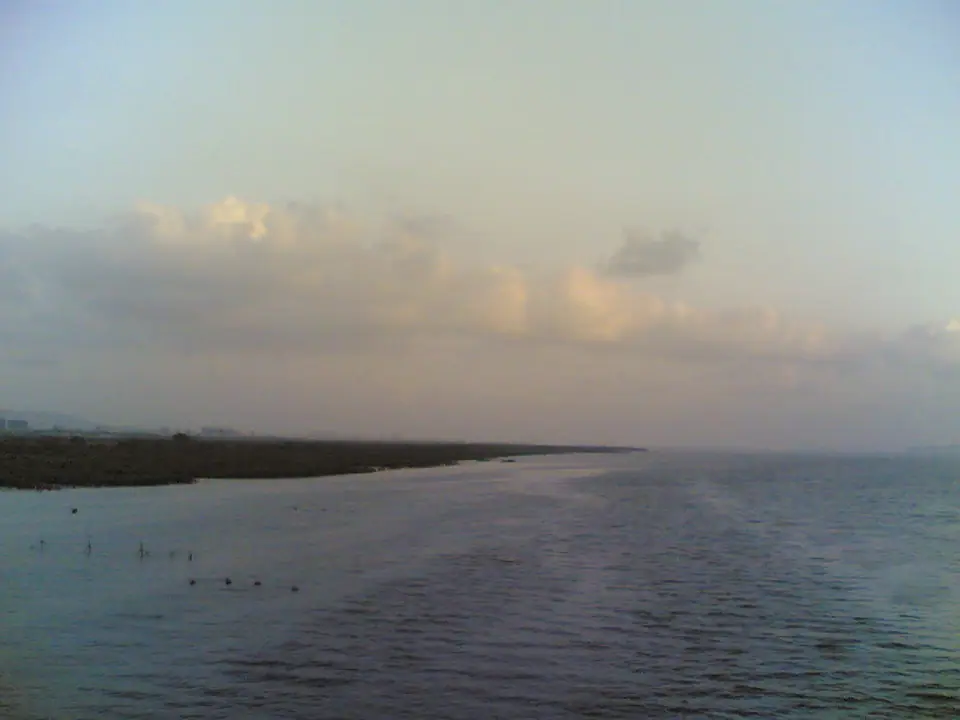
Thane Creek separates the zone from Mumbai. On the Navi Mumbai side the land rises gently from the water to a line of hills, so most nodes have both a creek edge and a green edge. Vashi and Sanpada sit closest to the Mumbai bridges, Nerul and Belapur in the middle, Kharghar against the hills, Airoli and Ghansoli to the north, and Panvel at the far south east where the roads to Pune and Goa leave the city.
Because the city was planned, facilities cluster in each node rather than lining one long street: a market here, a park there, a station at the centre. That makes a node easy to use once you are in it, but it also means that a sight seen on a map may be a long walk or a short ride from the next one. Plan by node rather than by street, and allow half a day for each one you want to see properly.
How the neighbourhoods differ
Vashi and Sanpada form the first node, reached first from Mumbai across the creek bridges. Vashi holds the large wholesale produce markets, a sector market area and a promenade along the creek, and Sanpada shares the railway line and the same grid. Nerul and Belapur follow: Nerul has lakes and open ground, Belapur has the planned central business district with wide avenues and a hill above it. Both are quiet by Mumbai standards, with schools, gardens and long residential roads.
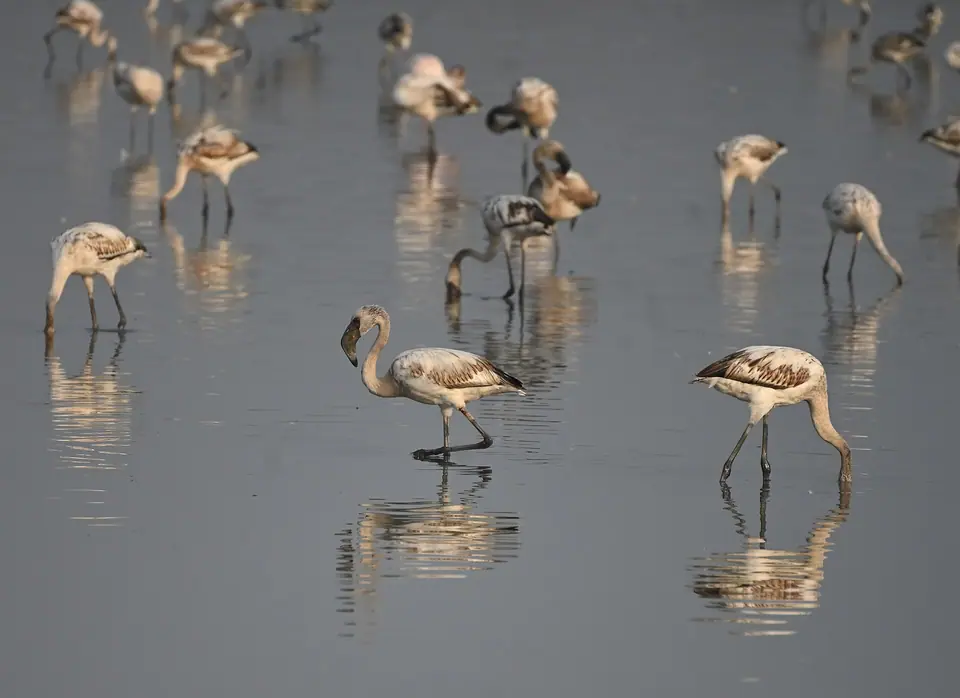
Kharghar is the hill node, with Central Park at its centre and the Pandavkada falls in the hills behind, which run only in the monsoon. Airoli and Ghansoli sit north of the creek, close to the Airoli bridge crossing and to the mudflats where flamingos gather in season. Panvel is different again: an older junction town, denser and less regular than the sectors, sitting where the Pune and Goa roads meet. It is also the closest node to the new airport.
The practical effect is that a stay in one node does not easily cover another. Vashi suits arrivals from Mumbai and market mornings, Kharghar suits walkers and park time, Panvel suits an early departure or a stop on the Konkan road, and Airoli suits birdwatching on the creek. Choose the node that matches the days you have rather than covering the whole zone from one base. Distances between nodes are real, and the roads are wide enough to make a short hop feel longer than it looks.
- Vashi and Sanpada: wholesale markets, a creek promenade and the first railway stop across the water.
- Nerul and Belapur: lakes, gardens and the wide avenues of the planned business district.
- Kharghar: Central Park, hill views and the monsoon falls above the node.
- Airoli and Ghansoli: the northern crossing and the creek mudflats where flamingos feed.
- Panvel: an old junction town on the Pune and Goa roads, closest to the new airport.
Getting around and distances
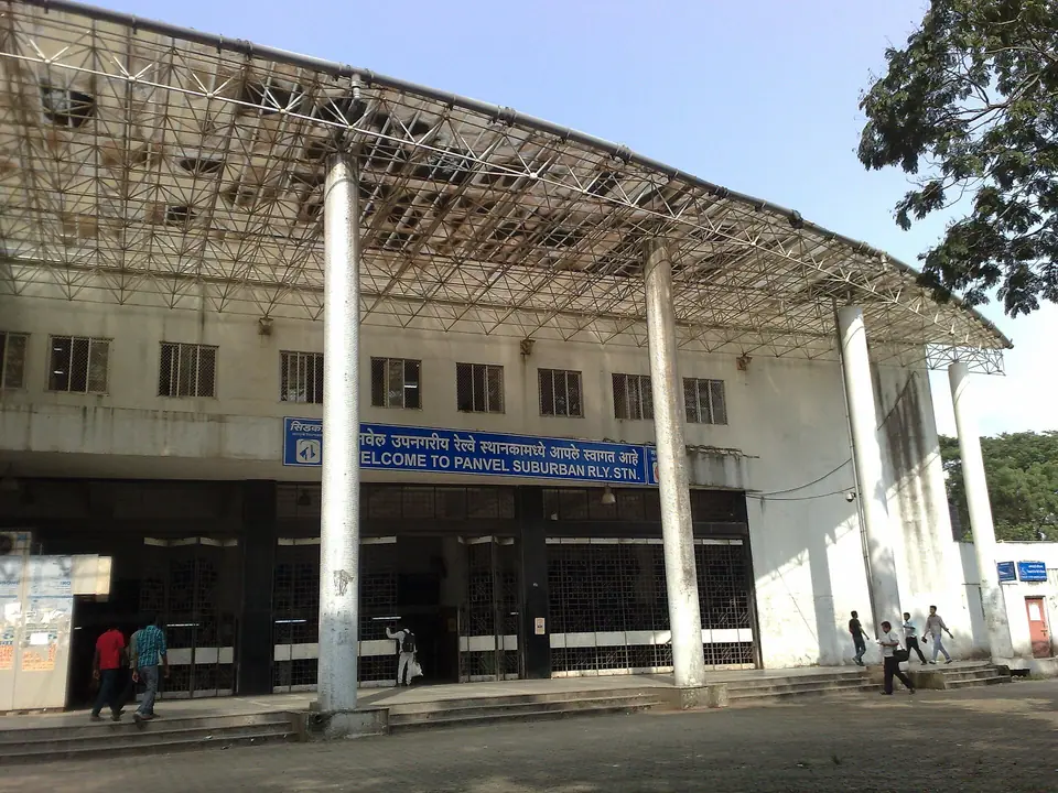
The suburban railway is the backbone. The Harbour line runs from CSMT through the zone towards Panvel, with a branch that links Bandra, Andheri and Goregaon, and it connects at the Mumbai end with the Central line. Road travel from the island city crosses Thane Creek on the bridges at Vashi, or further south on the Mumbai Trans Harbour Link, the Atal Setu, which opened in January 2024 and runs from Sewri to Nhava Sheva over about 22 km.
Inside the zone, distances are generous. Sectors are large, junctions are wide and the space between nodes is open land or creek, so a ride between Vashi and Panvel takes real time even when the traffic is light. Autorickshaws and app cabs are the usual way to move between sectors; some parts of Vashi, Nerul and Belapur are walkable, but pavements come and go. Allow slack in the monsoon, when low roads and underpasses flood.
- Harbour line trains connect CSMT, Vashi, Nerul, Belapur, Kharghar and Panvel.
- The Atal Setu links Sewri in Mumbai with Nhava Sheva, south of the zone.
- Check the current metro network before relying on it, as new lines and stations keep opening.
- Keep a buffer for monsoon flooding on low roads and underpasses.
What to see
Central Park in Kharghar is the zone's largest green space, with lawns and paths, and it works well as a morning outing with children. Above the node the Pandavkada falls drop through the hills in the monsoon, when the water is at its strongest and the paths are at their most slippery. The creek edge and the promenade at Vashi give long views across the water to Mumbai. Panvel keeps an older street pattern around its market, with temples and shopfronts that predate the sectors.
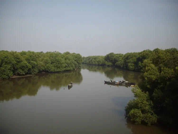
Thane Creek is the zone's wildlife story: the mudflats are a sanctuary declared in 2015, and flamingos feed there roughly from November to May. The Airoli side gives the easiest access. Belapur has the remains of a hill fort above the business district, and Panvel has the older town around its market streets. Inland from Panvel, the wooded hills towards Karnala make a half-day trip for walkers. Birdwatchers should bring binoculars, go early and check the tide before setting out.
Staying here and practical tips
Navi Mumbai suits travellers who want space and quiet after a day in the island city, families with children who need parks and room to move, and anyone whose flight uses the new airport near Panvel. It also works as a stop for the Konkan coast and the Goa road, since Panvel is the junction. It suits less well anyone who wants Mumbai's heritage streets on the doorstep, because the creek is between you and them.
Carry some cash even though UPI phone payments are everywhere, and keep a card as backup. March to May is hot and humid, the monsoon from June to September floods low roads, and October stays humid, so plan outdoor time for the morning. Water at the creek edges is not for swimming. Sector addresses confuse first-time visitors: note the node and sector number together before you set out. Restaurants and shops sit inside the sectors, so a local landmark helps more than a street name.
Editorial review: 16 November 2026 · imptmumbai.in, written with AI assistance (see the editorial policy).