- Zone
- Andheri East and Sahar, Mumbai
- Airport
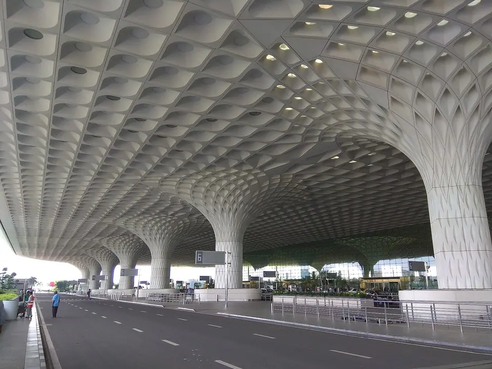
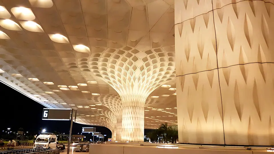
- Terminal 1 Santacruz, Terminal 2 Sahar
- Metro
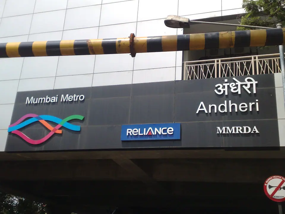
- Line 1 hub at Andheri
- Season
- November to February
A zone shaped by arrivals
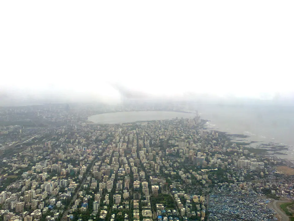
Andheri East spreads across the northern edge of the city's western suburbs, wrapped around Chhatrapati Shivaji Maharaj International Airport. The airport has two terminals: Terminal 1 on the Santacruz side and Terminal 2 at Sahar, on the Andheri East side. The Western Express Highway cuts through the zone from north to south, and the metro runs above and below it. Planes pass low over the rooftops on approach. The result is a district that works like a threshold: arrivals halls, taxi queues and streets that keep going through the night.
The area's older layer is easy to miss. Sahar, Chakala and Marol were villages of lanes and churches long before the runways arrived, and Marol still keeps a village core of narrow streets away from the highway. The city's first airfield was at Juhu, and civil flying later settled at Santa Cruz and then Sahar. Navi Mumbai International Airport, across Thane Creek near Panvel, opened in 2025 and is adding routes, so check which airport your flight uses.
Sahar, Chakala and Marol
The two neighbourhoods on this page sit close together, and in places you can walk between them, but they feel different. Airport and Sahar is the arrival belt: the roads beside Terminal 2, the hotel clusters along Sahar Road and in Chakala to the east. Everything here is arranged around the terminals, with porters, taxi counters and kitchens open late. It is convenient rather than residential, and aircraft noise is part of the bargain. Rooms facing away from the runways are quieter, so ask when you book.
Andheri East and Marol lie just beyond, reached by the same roads and by the metro. Marol has a village core, a busy junction and ordinary residential streets; the MIDC estate adds wide, uneven roads and industrial sheds that fall quiet at weekends. Andheri station, on the Western line, is the area's great connector, though it is very crowded at peak hours. Choose Sahar for the shortest transfer to Terminal 2, and Marol or the Andheri hub for metro access and calmer evenings.
- Sahar Road is the closest place to sleep for Terminal 2, with aircraft noise at some hours.
- Chakala sits a little east, with metro stations on Line 1 and a mix of ordinary streets.
- Marol keeps a village core of lanes and a busy junction, and feels residential at night.
- The Andheri station area is the rail hub, handy for the Western line but very crowded at peaks.
Getting around and onward
The metro has changed how this zone works. Line 1, opened in 2014, links Versova, Andheri and Ghatkopar across the suburbs, while Line 3, the underground Aqua Line, runs from Aarey to Cuffe Parade by way of the airport, BKC, Worli and the Churchgate area. Andheri station on the Western line connects south to Churchgate and north to Borivali, and the Harbour line has a branch through Bandra, Andheri and Goregaon. New lines and stations keep opening, so check the current network before planning a day out.
On the road, autorickshaws are common here, unlike the island city south of Bandra and Sion, and black-and-yellow taxis and app cabs are easy to find. Traffic on the Western Express Highway can be heavy at almost any hour, and monsoon rain floods low stretches and slows everything. For a flight, leave more time than the map suggests. The terminals sit inside the zone, but the roads between them and the hotels are the slow part, especially in the evening.
- Line 1 is the quickest link between Andheri, Marol and Ghatkopar for most of the day.
- Line 3 runs under the airport and on towards Worli and the Churchgate area; check the current map.
- Autorickshaws serve the suburbs, while the island city relies on taxis and app cabs.
- Heavy monsoon rain floods low roads, so allow extra time for any airport run.
Caves, coast and city edge
Within the zone, the Mahakali Caves, also called the Kondivite Caves, come as a surprise: a group of Buddhist rock-cut excavations in a low basalt outcrop in Andheri East, with carved cells and a shrine, quiet even when the highway is jammed. The site is not heavily visited and facilities are few, so carry water and wear shoes that cope with rough ground. Opening days and access can change, so check before you go. Terminal 2 displays a large collection of Indian art and craft, which many passengers walk past.
West of the zone, Juhu beach and the temple at Juhu are a short ride away, and Versova's fishing quarter and beach lie further north along the coast. Powai lake, east of Marol, makes another easy half day, with a promenade and birdlife. Swimming is unsafe at most Mumbai beaches, especially in the monsoon, and the sea at Juhu is for walking and watching rather than bathing. All of these are straightforward trips by cab or auto from the hotels.
Who the zone suits
The zone suits travellers who want an uncomplicated base with fast access to the airport: an early departure, a late arrival, a long connection, or a first night in the city before heading south. It also works for families who want space, a pool and easy road transfers rather than narrow lanes, and for anyone who values the metro over walking. It suits less if you hope to step out of the door into Fort's Victorian streets or Bandra's cafe lanes, since both need a journey.
Treat the zone as a base rather than a destination. Plan days outward, to Colaba and Fort, to Bandra, or to Elephanta by ferry from the Gateway of India, and keep evenings for the neighbourhood itself. Carry some cash alongside phone payments, expect aircraft noise near Sahar, and dress modestly for temples. The monsoon, roughly June to late September, is the least comfortable stretch here; November to February brings warm days and cooler evenings.
Editorial review: 16 November 2026 · imptmumbai.in, written with AI assistance (see the editorial policy).