- From BOM
- ≈ 20–40 min by road
- Best for
- Food, nightlife, cafés
- Station
- Bandra (Western line)
- Walk to
- Bandstand, Carter Road
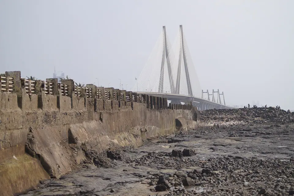
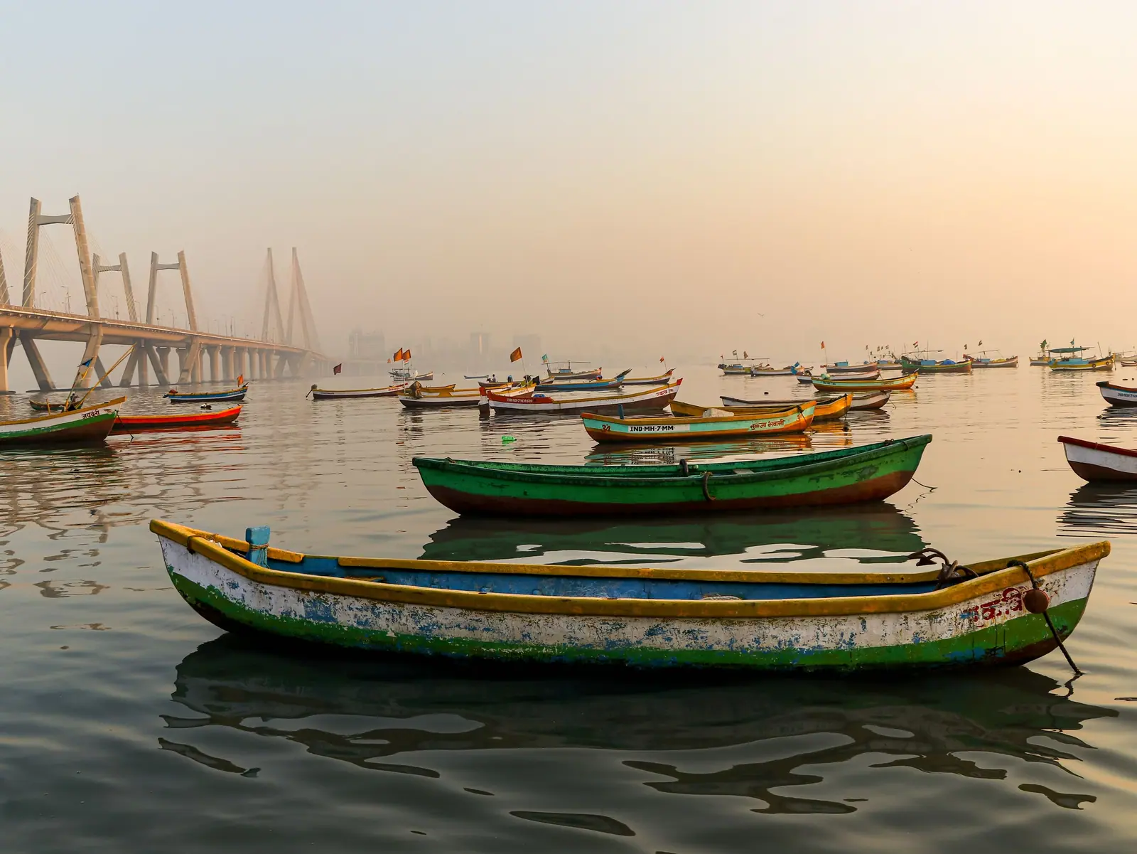
Bandra sits just north of the Mahim creek, linked to Worli by the Bandra–Worli Sea Link. It has long been a mixed neighbourhood of Catholic, Muslim, Hindu and Parsi communities, and its old villages — Ranwar, Chimbai, Pali — still have narrow lanes and cottages with wooden balconies between the newer apartment towers.
What to do
- Walk Bandstand promenade at sunset, past Bandra Fort (Castella de Aguada), a Portuguese watchtower from the 1640s.
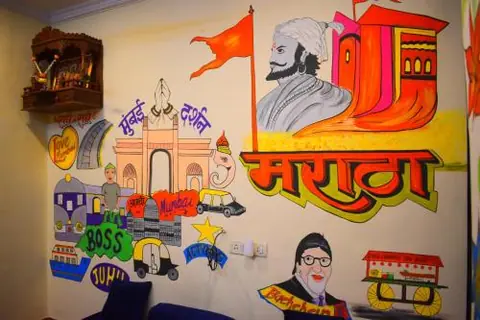
- See the murals and painted walls along Chapel Road and in Ranwar village.
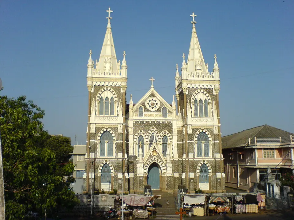
- Visit Mount Mary Basilica on the hill, the focus of a large festival every September.
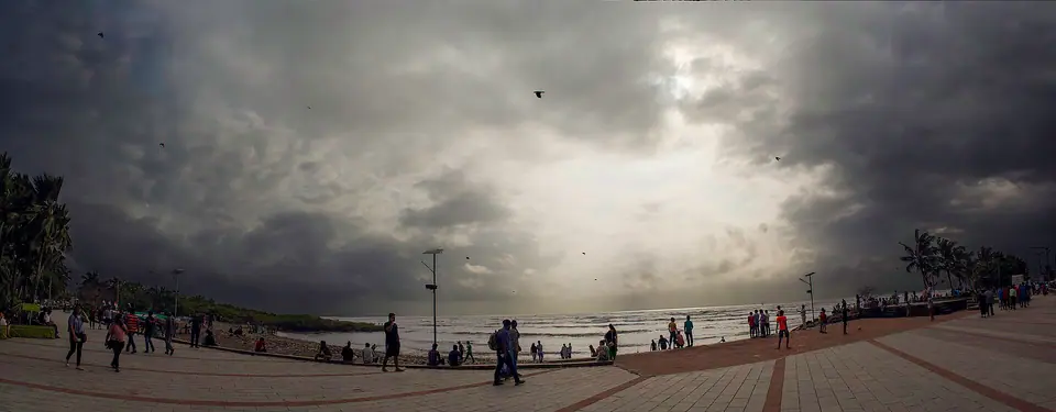
- Stroll Carter Road’s sea-facing promenade, busy with joggers in the morning and families in the evening.
- Shop on Linking Road and Hill Road for clothes, shoes and street stalls.
Eating out
Bandra has more cafés, bakeries and restaurants per street than almost anywhere in Mumbai. Expect everything from old Irani bakeries and Goan home cooking to modern Indian tasting menus and craft-beer bars. Weekend brunch is a local institution, and the lanes around Pali Hill and Waterfield Road are the easiest places to wander and choose.
Where to stay
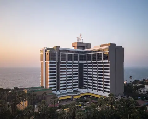
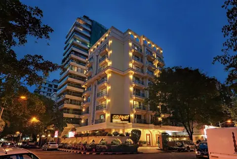
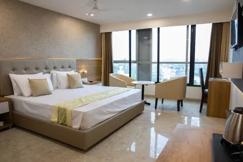
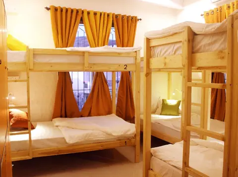
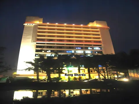
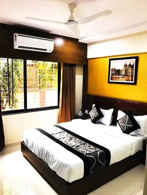
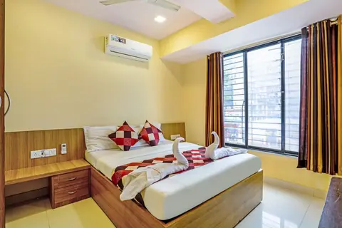
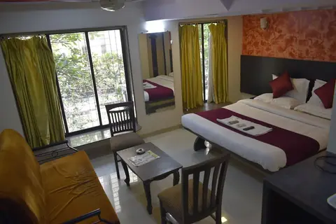
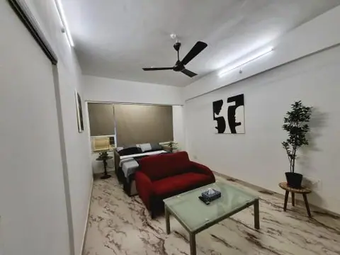
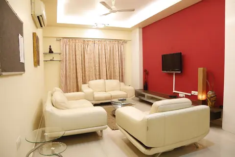
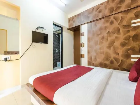
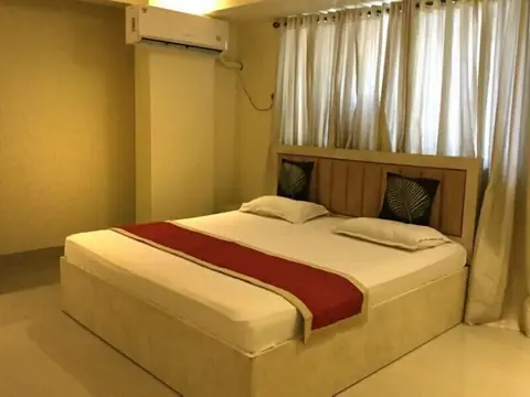
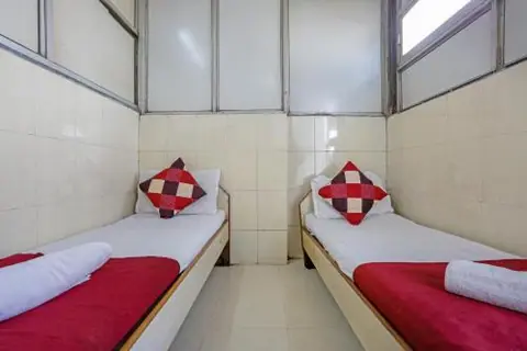
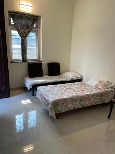
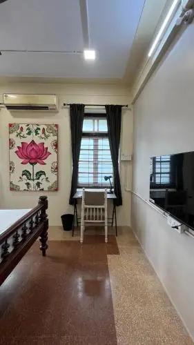
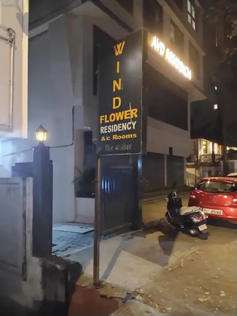
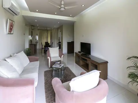
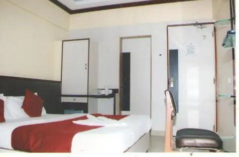
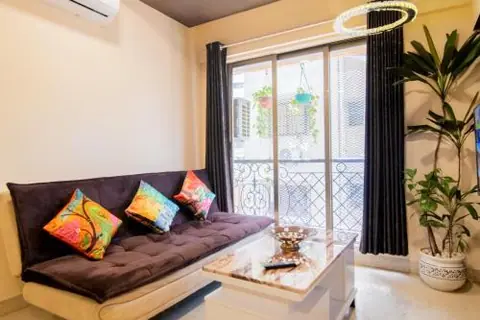
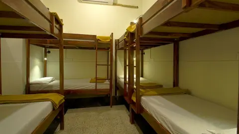
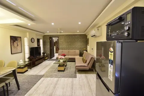
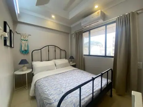
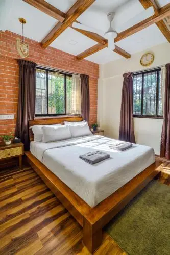
Bandra suits travellers who want to eat and go out more than sightsee. Hotels include sea-facing luxury properties at Bandstand and Bandra Kurla Complex business hotels to the east. From Bandra station, Western line trains reach Churchgate in about 25 minutes off-peak, and the airport is close.
Bandra's East Indian villages
Bandra was a cluster of fishing and farming villages long before the railway made it a suburb. East Indian families, the Catholic community of the north and Bandra, still hold houses and land in Ranwar, Chimbai, Sherly and Pali, and those lanes keep a village scale: low cottages with verandas, small chapels, a shrine at the junction, a cross in a yard. Walking them is the nearest the city comes to showing its older shape, and the narrow streets make a slow pace the only sensible one.
Go on a weekday morning. These are homes, not exhibits: children leave for school, deliveries arrive on foot, and a quiet visitor passes without comment. Ask before photographing people, doorways or shrines, and dress as you would for any parish compound. Chimbai's shoreline, where Koli families still work the boats, sits a short walk from the village grid. The monsoon turns the lanes muddy and the sea rough, so check the forecast and the tide before setting out, and keep to the lanes rather than the rocks.
A walk from Bandstand to Carter Road
The shore walk starts at Land's End, below Bandra Fort, and follows the sea wall north past Bandstand and on to Carter Road. It is a public path, busiest in the early morning and again after sunset, when the neighbourhood comes out to walk, run and sit on the wall. The sea link is in view for much of the route, with the Worli skyline across the water. Shade is scarce, so a hat and water make the walk easier.
Watch the tide. At high tide, and through the monsoon, the rocks below the wall are dangerous and spray crosses the promenade; in heavy weather sections may be shut, so follow local advice and the crowd. Evenings and weekends bring traffic on the approach roads, so allow time for the return. Bandra station is the usual way back into the city, and metro lines in the western suburbs continue to open, so check the current network before relying on a particular station.
Editorial review: 16 November 2026 · imptmumbai.in, written with AI assistance (see the editorial policy).